Geomatics Section
Geomatics is a complex of disciplines that cover the acquisition, the processing, the analysis, the visualization and the management of spatial information data through the use of "traditional" survey techniques like topography, photogrammetry and cartography, and more recent techniques like remote sensing, geographic information systems and computer vision.
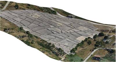
The Geomatics section carries out research, educational activities and works in the areas related to land and cultural heritage survey with the most modern hardware and software. The main activities are directed towards the management and control of GNSS permanent stations network, the use of photogrammetric techniques and computer vision for digital reconstruction and 3D modeling, the laser scanner survey, the modeling and management of Cultural Heritage, the use of UAV systems for the metric survey, the development of digital cartography and cartographic processes of derivation. By clicking on the name of the research group below it is possible to explore the contents.
 |


